Precision at Your Fingertips: Expert Topographical Surveys for Your Land
Uncover the true potential of your land with our detailed and accurate topographical survey services. Our team of professionals utilizes the latest technology to map your property's features, elevations, and contours, providing a clear and reliable blueprint for your construction or development projects.
Request a Quote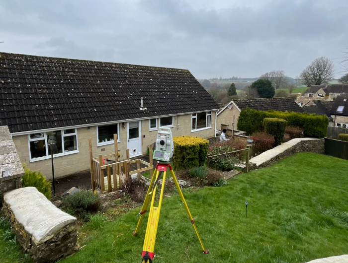
What is a Topographical Survey?
A Comprehensive Guide to Understanding Land Measurements
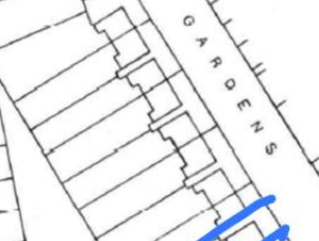
A topographical survey provides a precise mapping of your property's natural and man-made features, including elevations, essential for effective design and planning. At Icelabz Solutions, we utilize advanced GPS/GNSS and total station instruments to deliver accurate feature mapping, elevation levels, contour lines, 3D point clouds, and volume calculations, all presented in clear CAD drawings for easy interpretation by your design team.
What Does a Topographical Survey Deliver?
A Comprehensive Guide to the Deliverables of a Precise Land Survey
Icelabz Solutions' topographical surveys provide essential data for effective planning and design, including detailed feature mapping, elevation levels, contour lines, 3D point clouds, volume calculations, and comprehensive reports. Our accurate CAD drawings and additional services ensure you have the reliable information needed for successful construction projects.
Our Process for Topographical Surveys
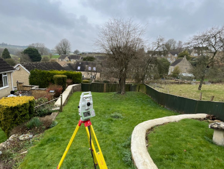
At Icelabz Solutions, we deliver precise topographical surveys through a streamlined process: from your initial quote request to on-site measurements using advanced technology, followed by thorough data processing and a comprehensive report delivery. Our commitment extends beyond the report, offering ongoing support to ensure you have all the information needed for your project. Choose us for accurate, reliable surveys backed by exceptional customer service.
Who Needs Topographical Surveys?
A Guide to Beneficiaries of Precise Land Measurements
Topographical surveys are vital for architects, builders, engineers, surveyors, environmental consultants, planners, and property owners, providing essential data for effective planning, design, and compliance. They ensure accurate land assessments, enabling informed decisions and successful project execution.

Why Choose Icelabz Solutions for Topographical Survey Services?
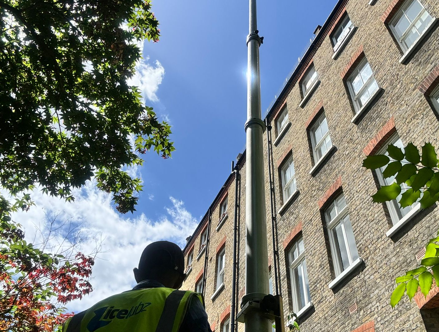
Icelabz Solutions delivers precise and reliable topographical surveys with a dedicated team of experienced professionals. We offer accessible, affordable services tailored to your needs, ensuring quick turnarounds and ongoing support. Trust us for comprehensive surveying solutions that empower your projects with accurate data and exceptional service.